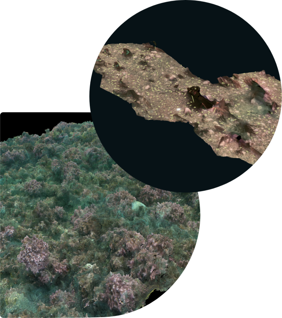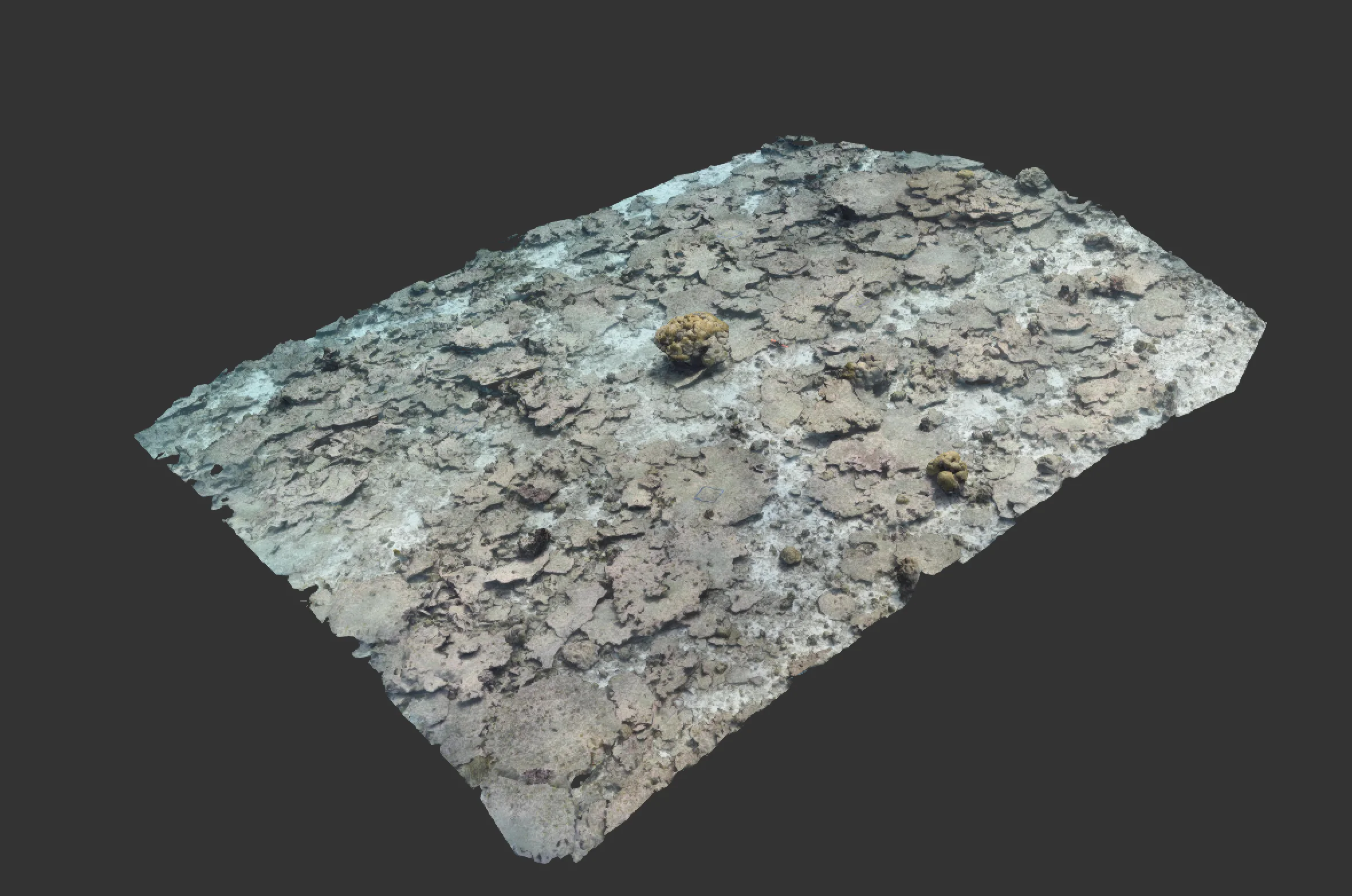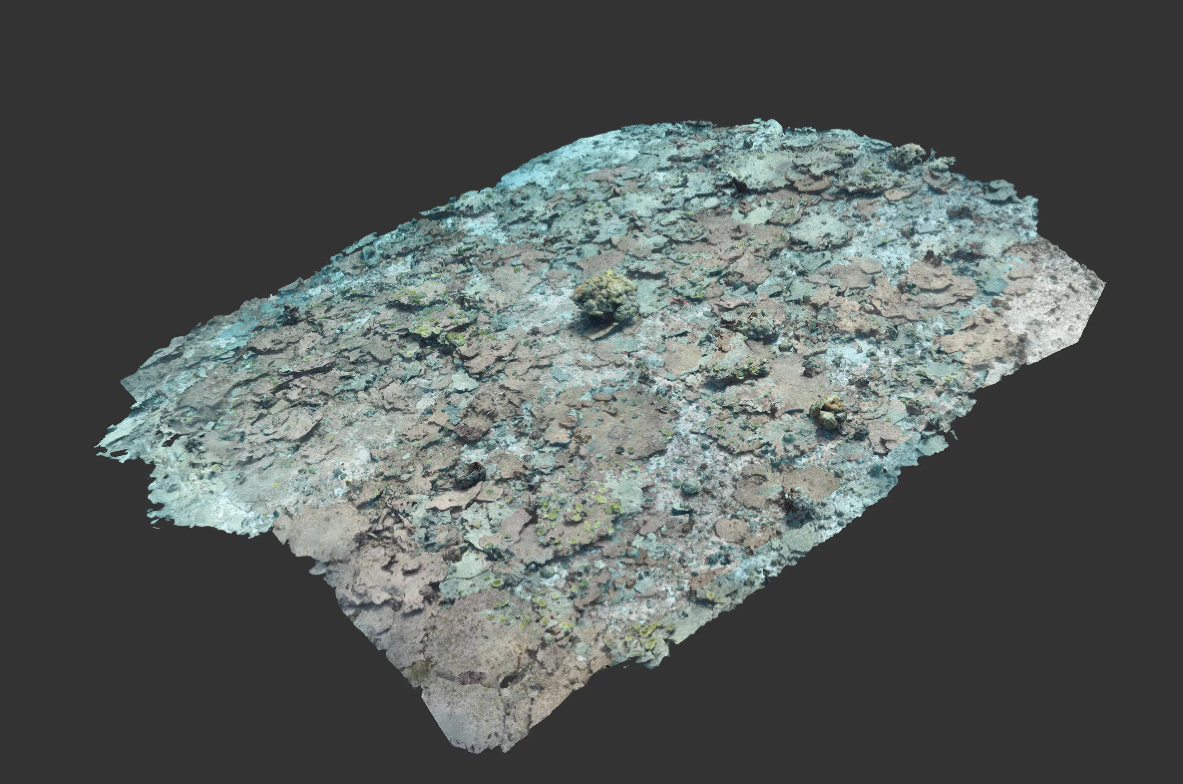
Hydrophis transforms complex marine data into clear, actionable insights. By combining georeferenced 3D photogrammetry with real-time data integration, it allows you to visualise the seabed in detail, track environmental changes over time, and overlay multiple data sources—including bathymetry, ecological surveys, and structural assessments—all in one platform.
With AI-powered analysis and time-based comparisons, Hydrophis helps streamline decision-making by identifying seabed features, monitoring habitat changes, and automating species classification. Whether you need to analyse millimetre-precision 3D models or integrate live survey data, Hydrophis ensures that everything you need is accessible, organised, and easy to interpret.


Fill in the form below and we’ll get back to you once we’re dry and on land.