Red Rocks Skye Skate Eggs
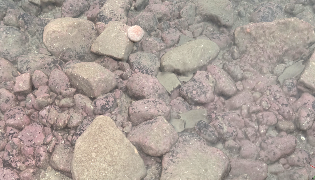
The Scottish Government was notified about the presence of flapper skate eggs in the Inner Sound of Skye in late 2019. Tritonia was contracted by NatureScot to provide diving support to recover eggs so they could be genetically sampled in 2020 and additionally imaged and modelled the nursery site to deliver fine scale habitat data. […]
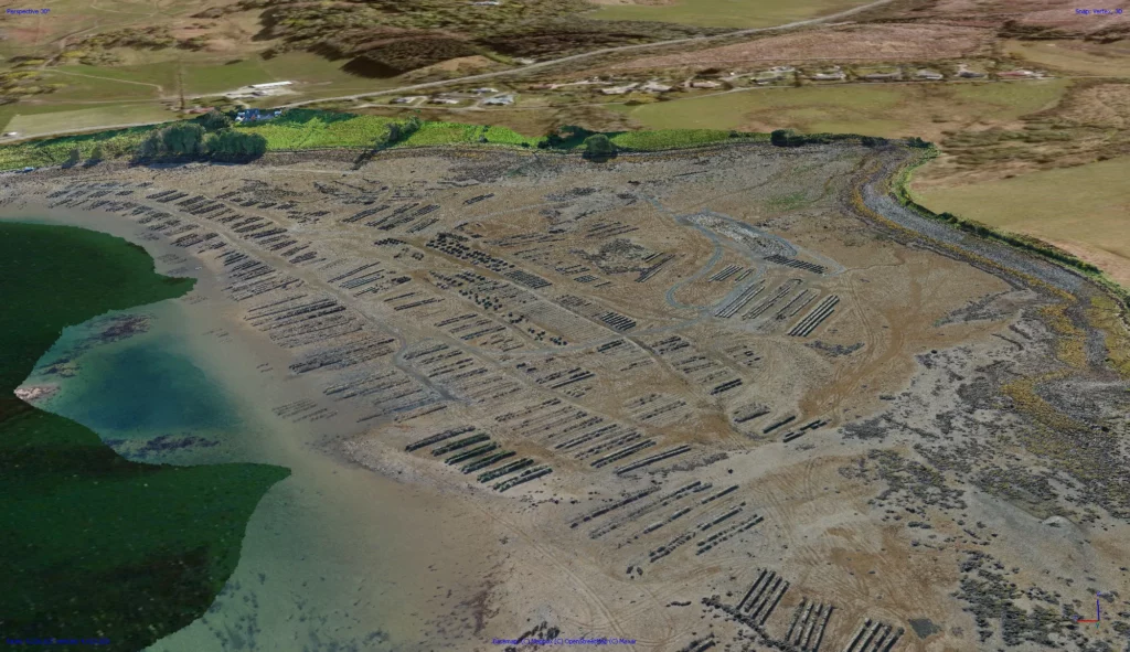
Lismore Pier Survey
These structures have often been in place for many decades, and have suffered winter storms and the impact of large vessels
Oyster Farm
High resolution orthomosaic for optimised farm management and assessment of stocks
Glacier – Greenland
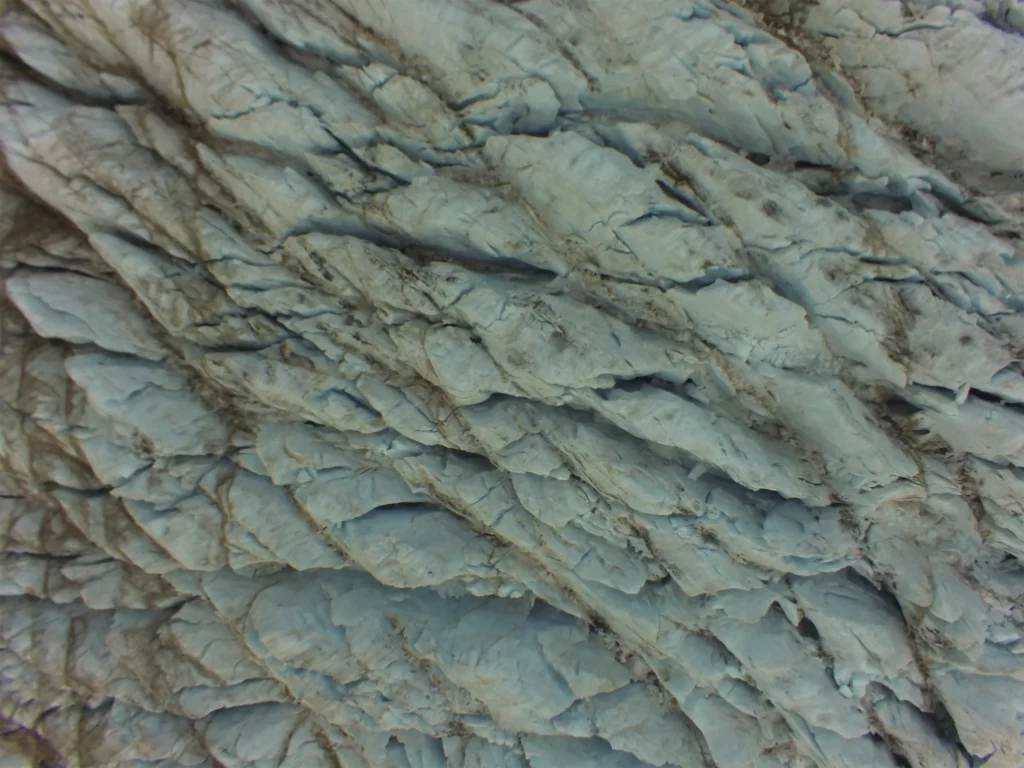
Assessment of remotely monitoring temporal changes in ice coverage
Wreck at Phuilladobhrain – Isle of Seil
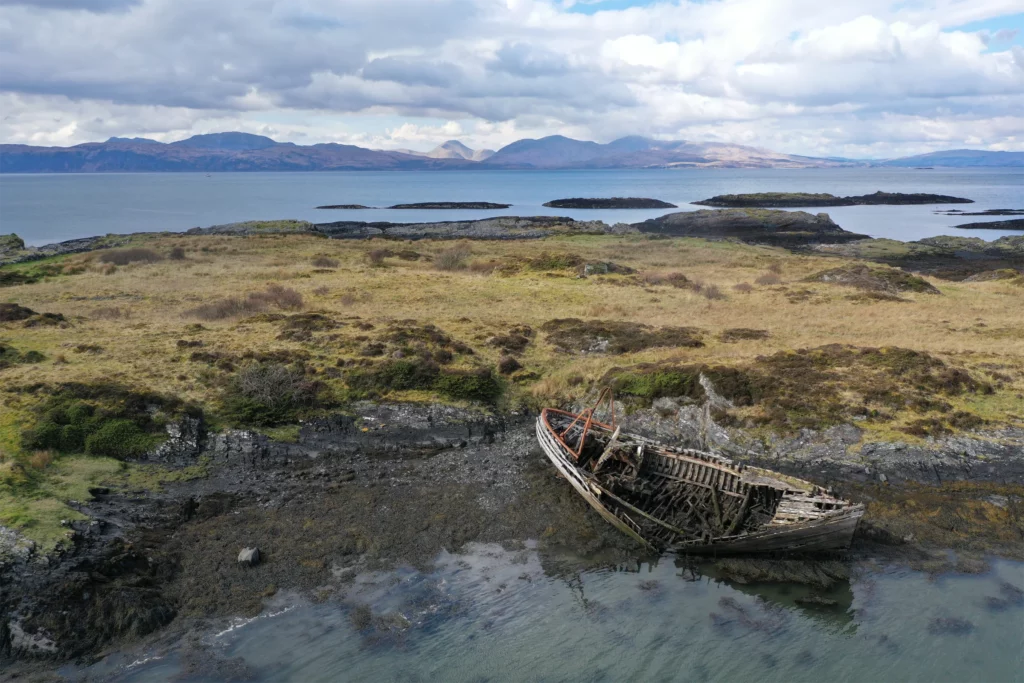
Wreck reconstruction for the assessment of degradation over time
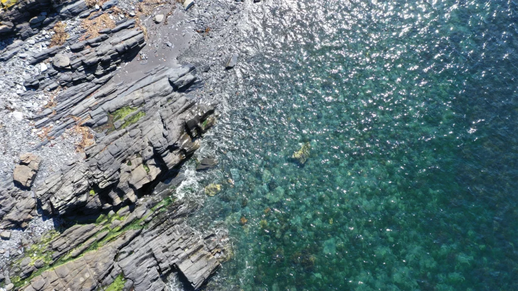
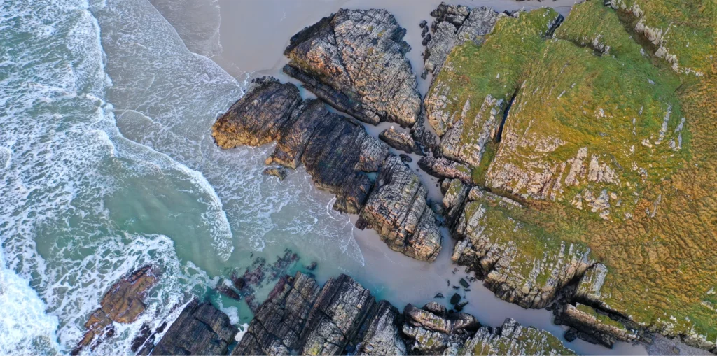
Beach Survey – Isle of Seil
Blue Carbon Forum, Marine Scotland Initiative
Coastal Erosion – Machir Bay
Reconstruction of surface topography for monitoring erosion rates
Rothera Research Station – Antarctica
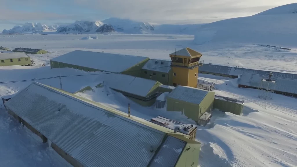
Opportunistic drone footage reconstruction
Clachan Bridge – Isle of Seil
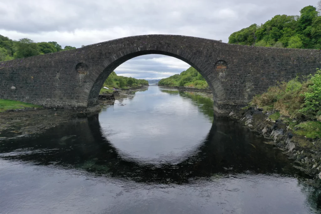
The iconic ‘Bridge Over the Atlantic’ is a category A listed bridge, considered a key tourism asset. Its unusually steep arch and narrow, single road pose difficulty in carrying out routine structural surveys, which normally require a crane to be situated on top of a flat section of the bridge. Aerial photogrammetry offers a solution […]
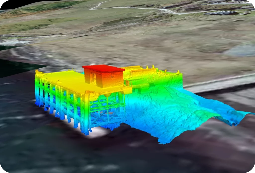
Monopile – Southwold Pier
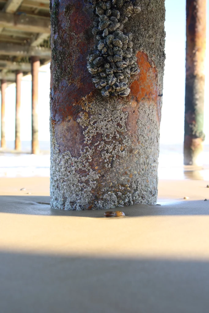
Marine structures such as this affect the surrounding environment just by their very presence, increasing scour and influencing hydrodynamic conditions. We used photogrammetry to examine how biofouling provides an even more complicated flow around such structures, using high resolution photogrammetry at millimetre scales.