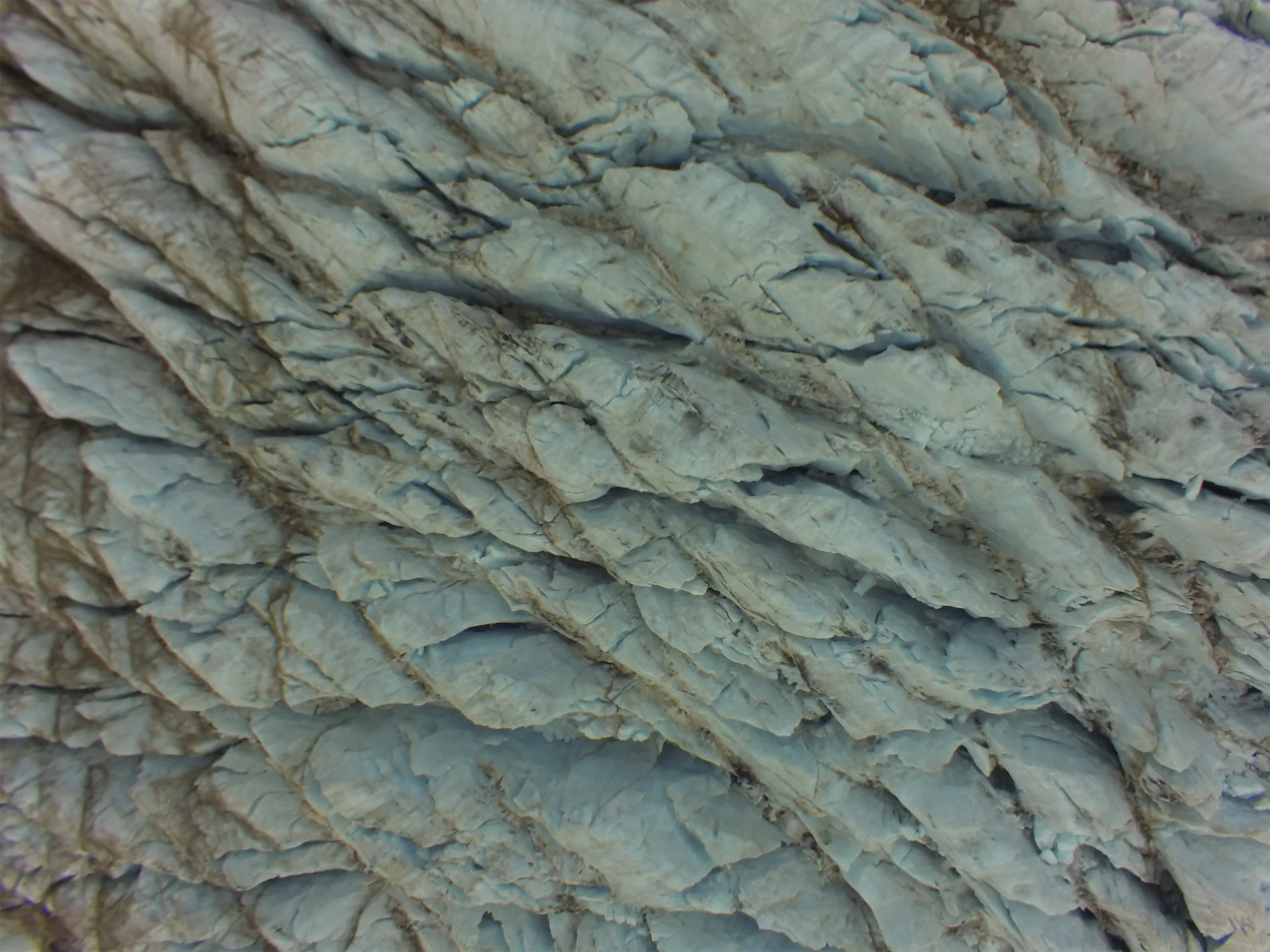
3D photogrammetry emerges as a game-changer in habitat assessment and species monitoring
Advancements in technology have revolutionised the conservation landscape, offering powerful tools to safeguard our natural world. Tritonia Scientific stands at the forefront of this movement, leveraging cutting-edge 3D photogrammetry, Remotely Operated Vehicles (ROVs), and expert consultation services to empower conservation organisations across diverse industries.
Habitat Mapping through 3D Photogrammetry
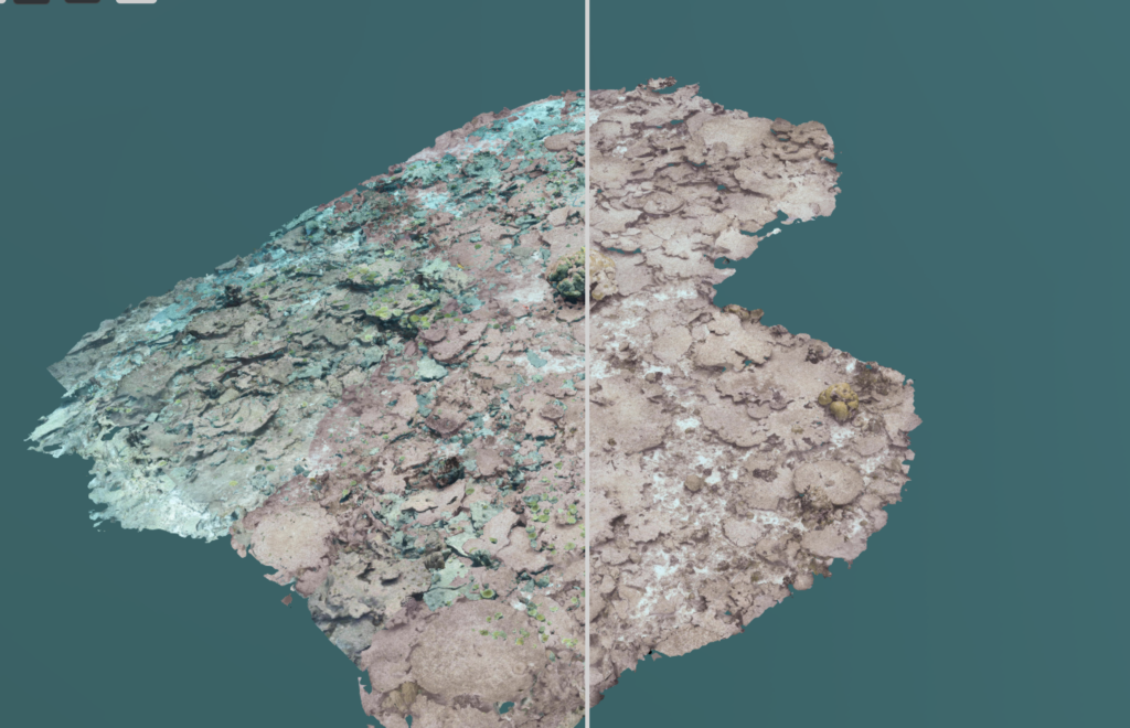
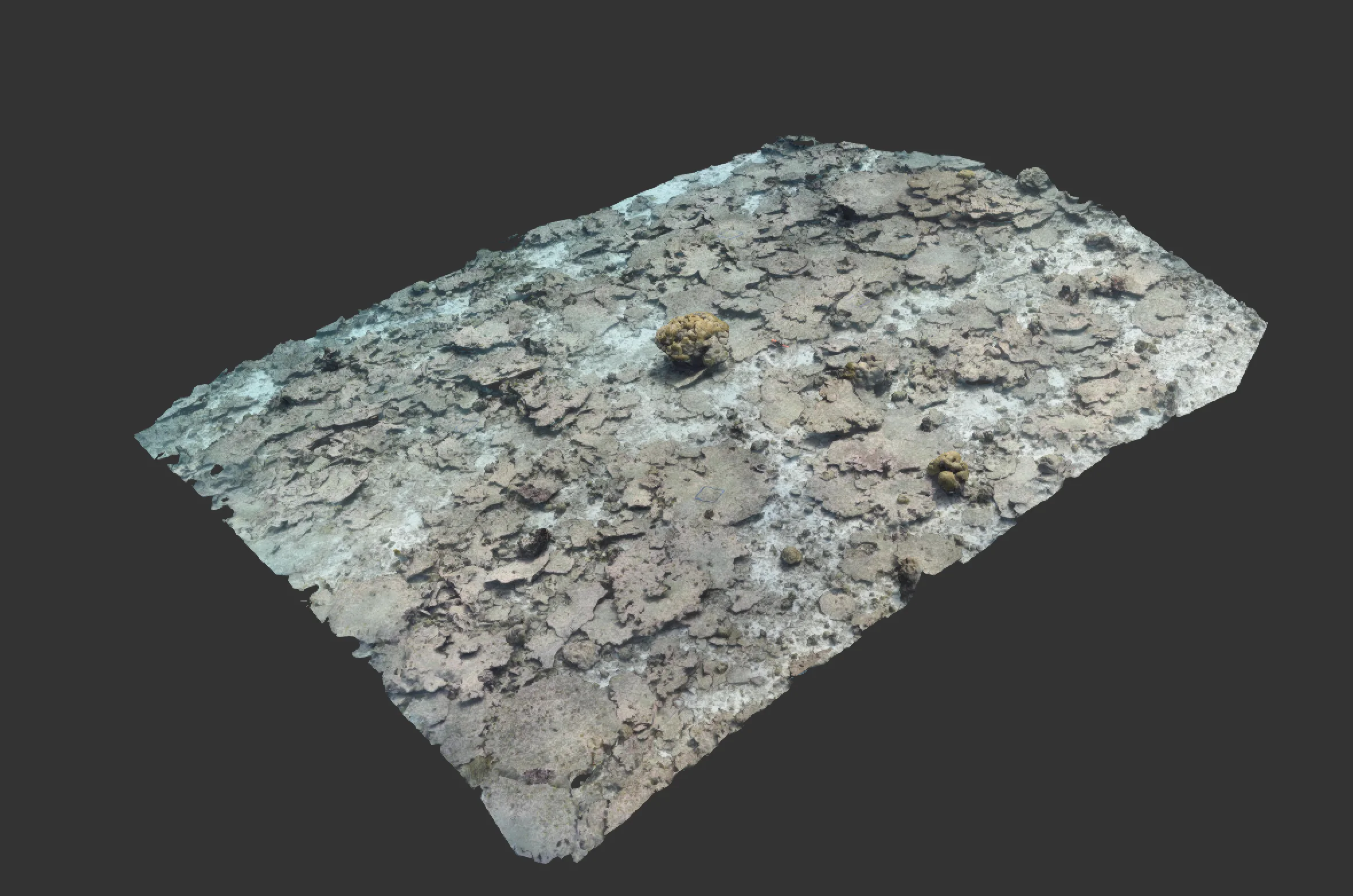
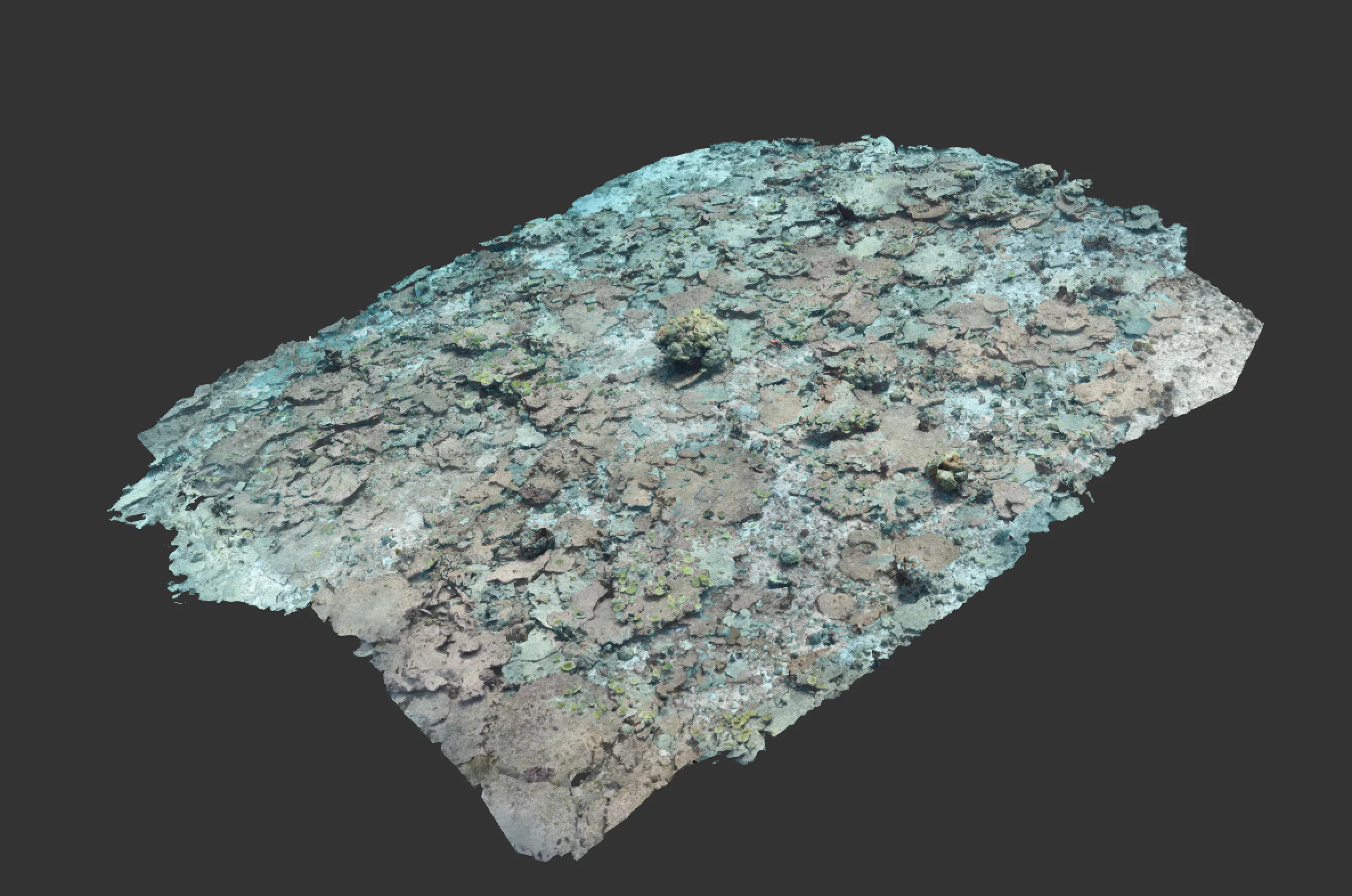
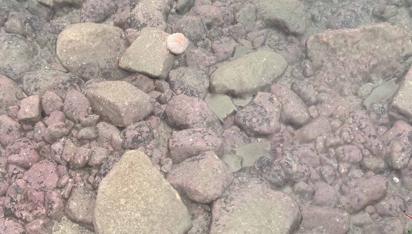
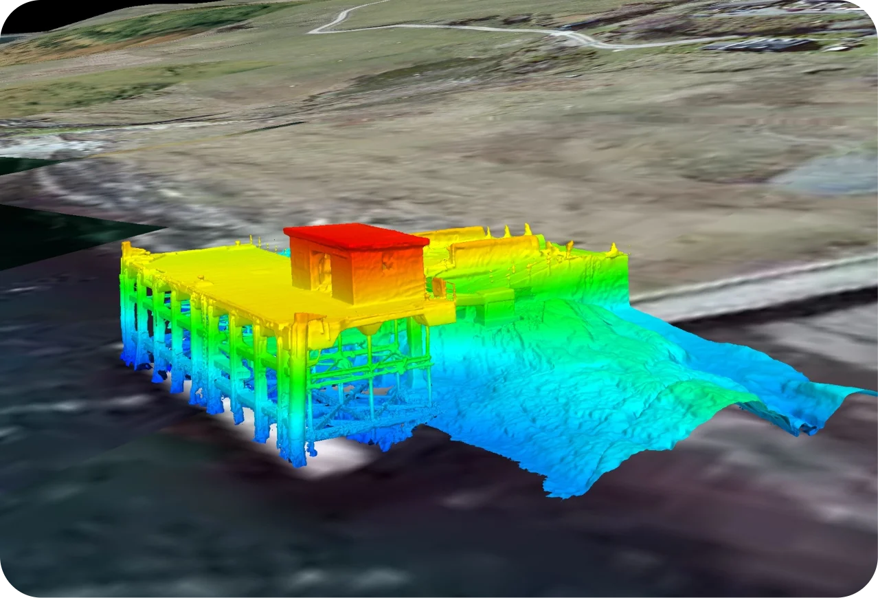
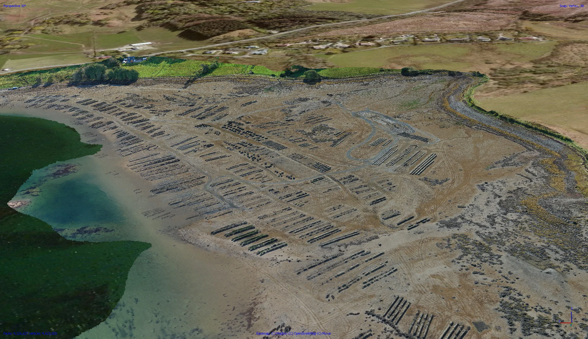
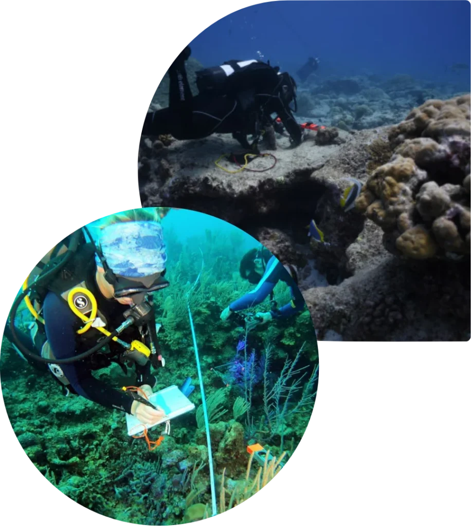
Harnessing the power of 3D photogrammetry, Tritonia offers unparalleled habitat mapping services for conservation organisations. Our advanced techniques transform underwater environments into meticulously detailed 3D models, providing a comprehensive view of ecosystems.
Through this service, conservationists gain precise insights into habitat structures, species distribution, and changes over time. This invaluable data aids in informed decision-making for conservation strategies, facilitating targeted efforts to preserve and restore fragile ecosystems.
From coastal regions to deep-sea environments, our 3D photogrammetry services pave the way for a deeper understanding and effective preservation of natural habitats.
Remote Environmental Monitoring using ROVs
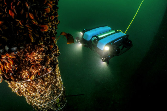
Our Remote Operated Vehicles (ROVs) serve as a pioneering solution for remote environmental monitoring in challenging marine ecosystems. Equipped with cutting-edge technology and modifications, our ROVs delve into depths unreachable by conventional means, capturing high-resolution data and georeferenced imagery.
This service allows conservation organisations to conduct comprehensive assessments of marine life, survey sensitive habitats, and monitor environmental changes in real-time. By providing access to remote and deep-sea areas, Tritonia empowers conservation efforts with detailed insights essential for safeguarding marine biodiversity and preserving critical ecological balance.
Sustainable Consultation for Environmental Initiatives
At Tritonia Scientific, our commitment to environmental preservation extends beyond technology. We offer specialised consultation services tailored to support sustainable environmental initiatives. Drawing on our extensive experience and expertise, our consultations provide invaluable guidance for organisations seeking to implement conservation projects, enhance environmental stewardship, or develop eco-friendly practices.
Whether it’s advising on best practices for habitat restoration, recommending strategies for reducing ecological impact, or designing sustainable conservation plans, our consultations ensure that environmental initiatives align with the highest standards of conservation ethics and long-term ecological sustainability.

