After nearly five years in development — and following a series of successful trial deployments last month — Tritonia yesterday took the plunge and, for the first time, used fully autonomous ROV navigation control to capture seabed imagery around an operational fish farm site.
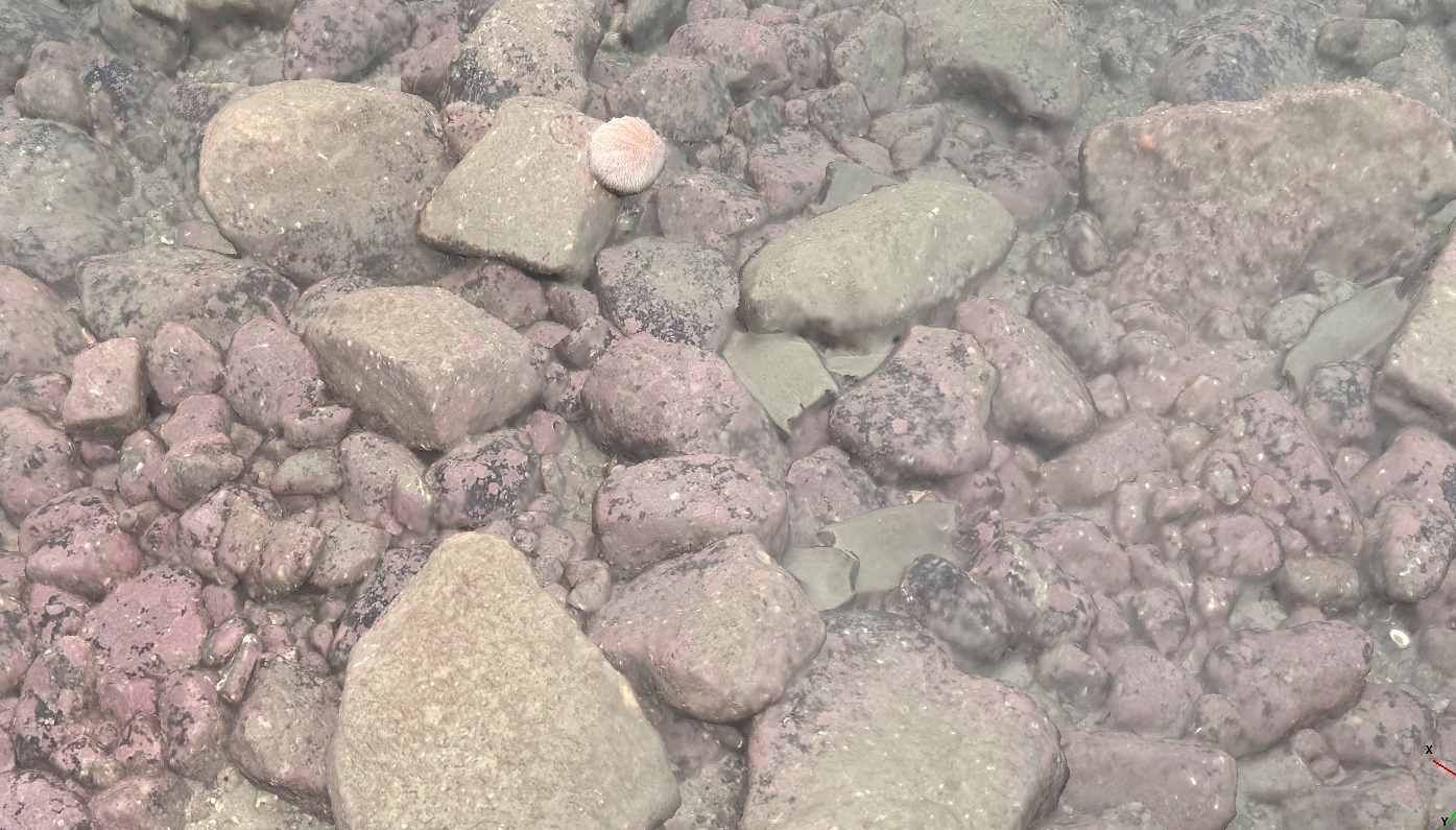
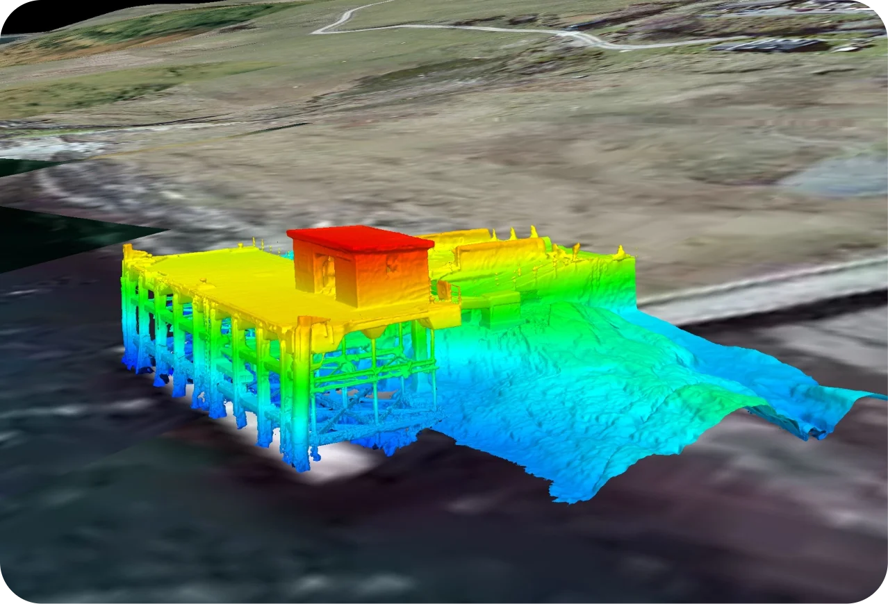
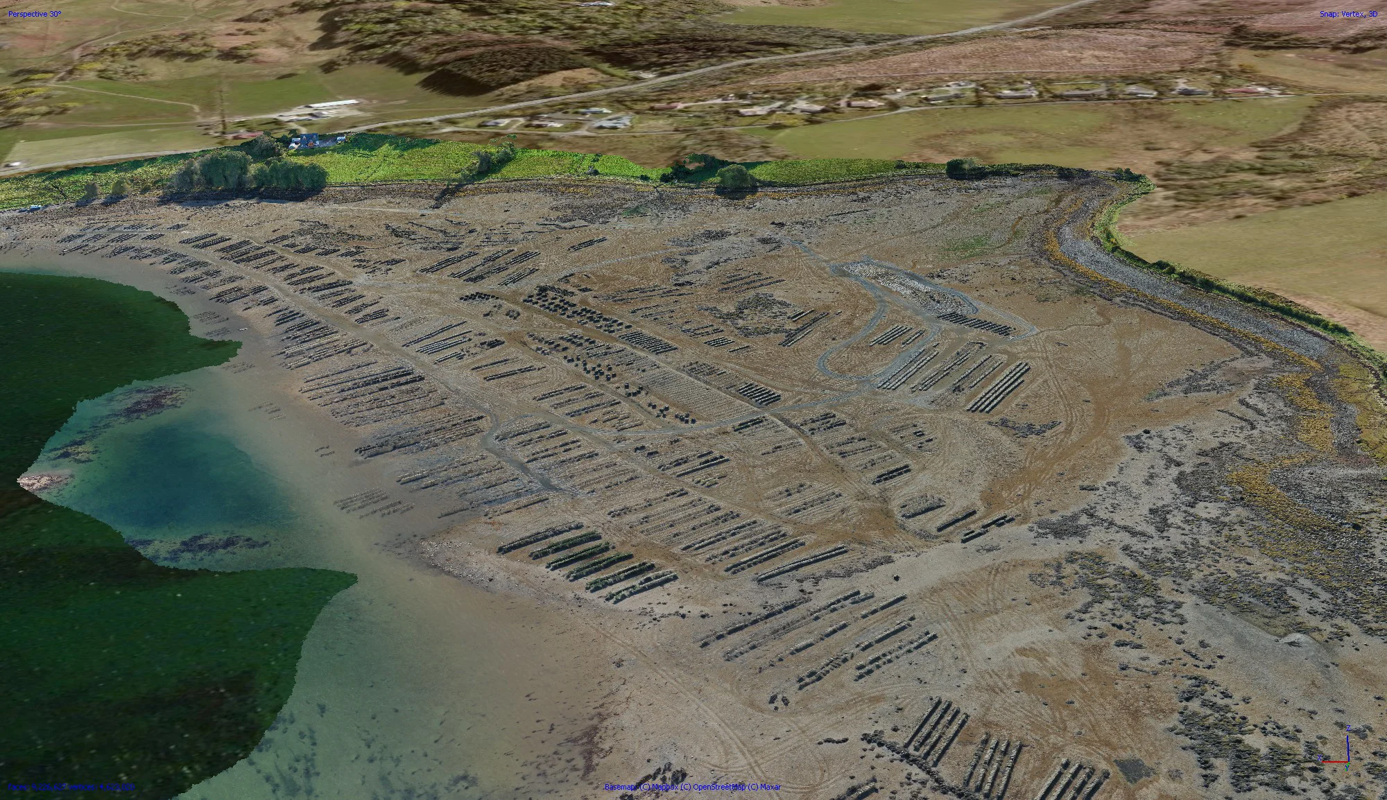
Using fully automated, georeferenced “lawnmower” flight patterns combined with terrain-following functionality, the system collected image data with the accuracy and precision required to generate detailed digital 3D models of large seabed areas. A key breakthrough has been the automation of altitude hold, removing the need for the pilot to constantly adjust the vehicle’s height above the seabed. This not only significantly reduces pilot workload, but also delivers more consistent image capture and improved survey quality.
While further work is still needed to improve robustness and operational reliability before the system can be rolled out commercially at scale, we believe this marks a significant step forward in how underwater survey and environmental monitoring can be conducted in the future using cost-effective, off-the-shelf technologies.
If you would like to learn more, please visit us on stand B21 at Aquaculture UK in Glasgow next week, 16–17 June.