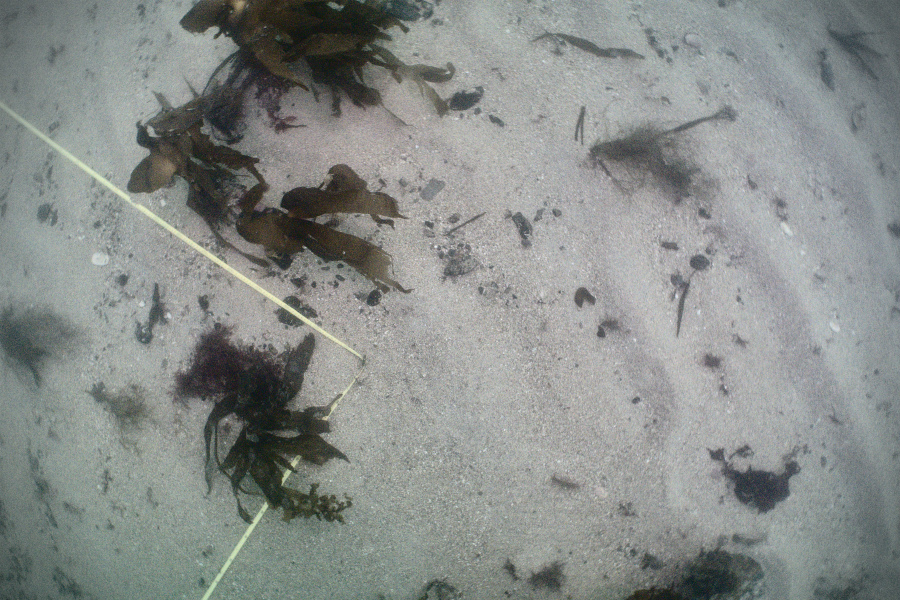
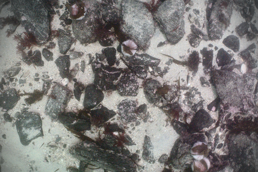
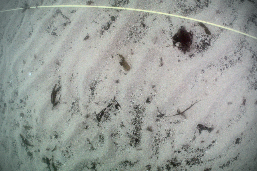
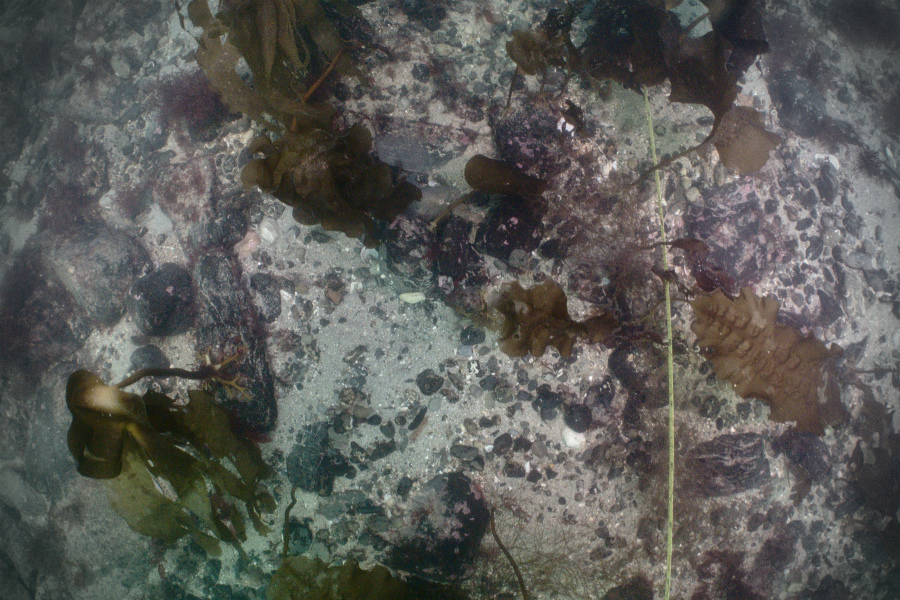
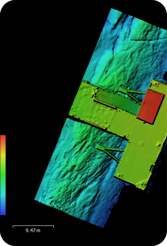
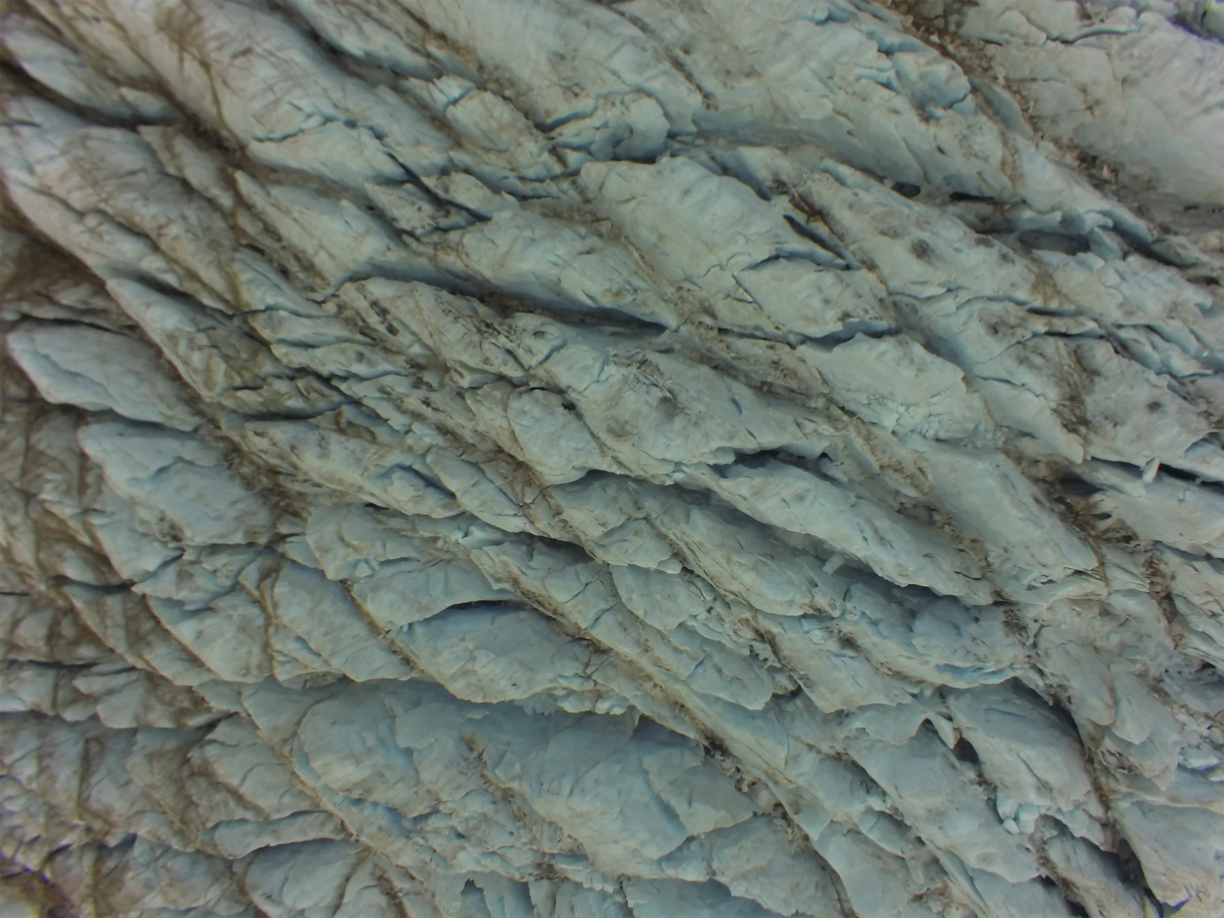
The waters around the west coast of Scotland have variable visibility, but can average 2-5 metres. Our standard 12×12 metre survey grid allows us to record a planar 144 square metres of seabed to centimetre-scale resolution in a single dive, even in very poor conditions. These grids are geolocated, and arrays of them can be scaled up to map a very large area, as well as monitor this area over time.
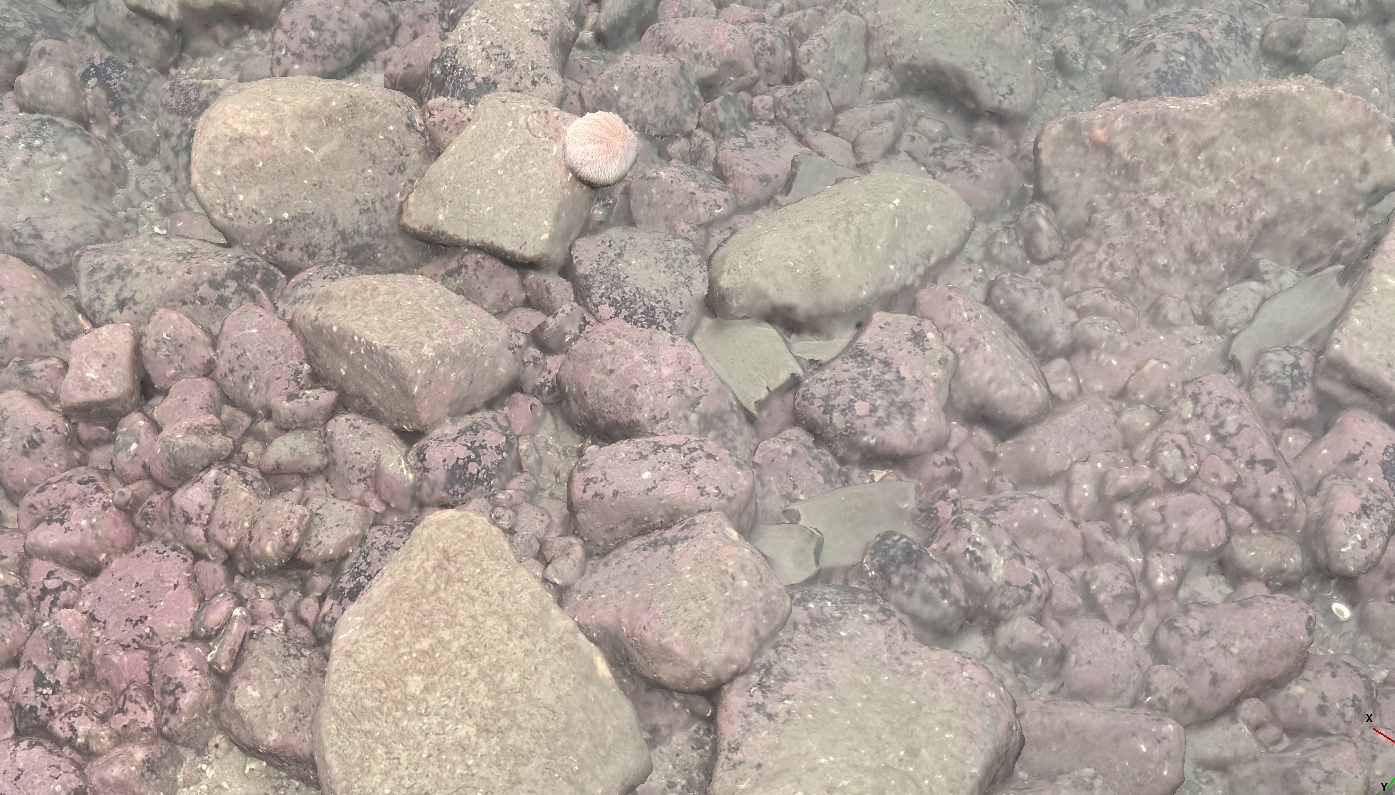
This particular survey shows one portion of the scallops nursery just below the kelp forest limit in the Firth of Lorne. Even well camouflaged and juvenile scallops can be picked up by terrain analysis, as their breathing and filtering disturbs the seabed around them in a characteristic manner. The small boulders at this site also provide a home for numerous squat lobsters and edible crabs.

