Globally, coral reefs are experiencing significant impacts from climate change and direct human activities. Photogrammetry provides an ideal tool for both rapid impact assessments and long-term monitoring. Successive surveys can build up a picture of change, allowing quantification of both growth and erosion on multiple scales. The remote Chagos Archipelago is one such place in which photogrammetry has been used to great effect, charting the recovery of reefs following several mass bleaching events.
Ile de la Passe
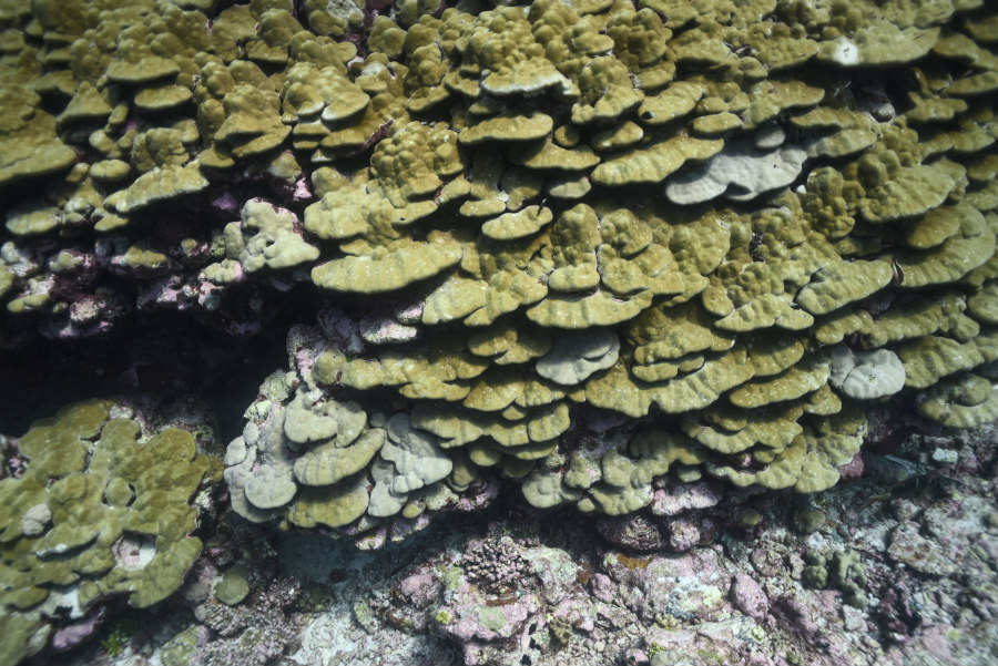
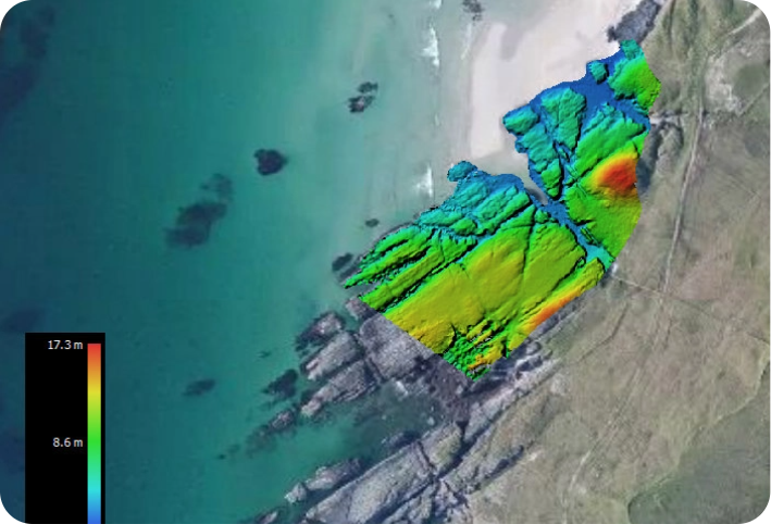
The Northern atolls of the Chagos Archipelago, just 5° south of the equator and relatively buffered from the strongest prevailing winds, fared better than most of the BIOT Marine Protected Area following the 2016-17 bleaching event. Île de la Passe was subject to a landslip following an earthquake, and as such the underwater topography displays large scale complexity. The presence of a diverse and established coral assemblage increases this complexity still further, providing niches from the sub-centimetre to metre scales and promoting an abundant fish community.
Danger Lagoon
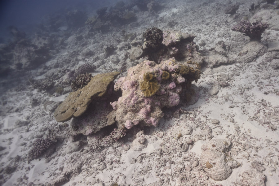
The Western flank of the Great Chagos Bank in the Indian Ocean was one of the areas which saw the greatest changes following the coral bleaching event of 2016-17. The ‘lagoon’ of the Chagos bank is around 100 km across, and far more exposed to the prevailing winds than the lagoons of smaller atolls. The fragile corals which carpeted the lagoon floor were heavily impacted by water temperatures in excess of 31°C and then smashed to sandy rubble by storms, robbing new recruits of stable substrate to settle and grow upon. The result is a lunar landscape devoid of the majority of fish found in similar locales.

